
Finding a Property Surveyor for a Church Housing Development
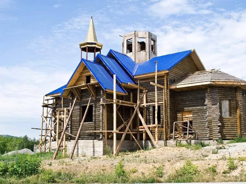
A church campus often has more room than people realize. Turning part of that land into housing may sound straightforward until practical questions come up. Where are the property lines? How will residents share access with the church? Are there easements, utilities, drainage areas, or existing improvements that affect where housing can be built?
Before building on part of an existing property, a property surveyor near you can help document boundaries, access, and existing site conditions. For a church housing project, that information gives the development team a clearer starting point for evaluating the proposed housing area.
This article explains what to consider when choosing a property surveyor for a church housing development. Document the Church Property Before Housing Plans Begin
Before detailed housing plans take shape, the development team needs reliable information about the existing property. Church campuses can change over decades as buildings, parking lots, driveways, and other improvements are added.
A property survey can establish the boundary and document existing conditions so architects, engineers, and planners are not relying solely on old maps or assumptions.
The survey may document:
- Property boundaries and corners based on available records and field evidence
- Existing church buildings, parking areas, driveways, and other improvements
- Fences, walls, or other features near property lines
- Undeveloped portions of the property that may be considered for housing
Starting with accurate existing-condition information gives the development team a reliable base for further planning.
Define the Proposed Housing Area Within the Church Campus
Once the overall property is documented, the project team can evaluate where the proposed housing may fit within the larger campus.
Survey information helps show how a potential housing area relates to existing buildings, property boundaries, parking, access, easements, and other site features. Zoning and development regulations then help determine what can actually be built.
The planning process may need to consider:
- The portion of the property proposed for housing
- Its relationship to existing church buildings and parking
- Applicable setbacks and other zoning requirements
- Whether subdivision, lot adjustment, or another land-development process may be required
If part of the church property will become a separate parcel, additional surveying and local approvals may be necessary. Confirm those requirements with the appropriate agencies early in the process.
Map Access, Parking, and Shared Areas for the Development
Church campuses often have driveways, parking lots, and walkways serving several buildings. Adding housing introduces another group of people who may use the same access points and shared areas.
A survey can document the existing layout so the architect or engineer can evaluate how proposed housing will connect with the rest of the campus.
Useful information may include:
- Existing driveways and access points
- Parking lots and circulation areas
- Sidewalks and pedestrian connections
- Property boundaries and recorded access easements
- Existing features that could affect proposed entrances or internal roads
This information helps the design team evaluate access and circulation before those elements are incorporated into detailed plans.
Identify Utilities and Site Features That Affect Housing Layout
Utilities and existing site conditions can have a major influence on a housing layout. The survey should document visible or otherwise appropriately located features required by the project’s scope.
Depending on the survey and information available, those features may include:
- Visible utility structures and other utility information provided for the survey
- Recorded utility easements affecting the property
- Drainage features and low areas
- Trees, slopes, walls, pavement, and other relevant site features
Not every underground utility can be identified from a standard property survey alone. Utility records, subsurface utility locating, engineering investigation, or other specialized work may also be needed before excavation or final design.
Coordinate Survey Data With the Housing Development Team
The survey becomes most useful when the architect, civil engineer, developer, and other project professionals are working from the same information.
Survey data can provide the base for site planning, engineering, permitting documents, and later construction work. Early coordination also helps identify whether additional surveying will be needed as the project moves from concept to design and construction.
Coordination may include:
- Providing survey data to the architect and civil engineer
- Confirming the coordinate system, elevations, and file formats needed for design
- Supplying survey documents required for applicable reviews or approvals
- Updating survey information when the project scope or site conditions change
Requirements depend on the property, proposed development, zoning, and applicable local regulations. Before detailed design begins, confirm the project’s surveying, subdivision, zoning, and permitting requirements with the appropriate local agencies.
For a church considering housing on part of its campus, surveying provides the physical property information needed to begin evaluating the site. Starting early gives the development team time to address boundaries, access, easements, utilities, and existing conditions before those issues become more difficult to resolve.
Frequently Asked Questions
What type of survey does a church housing development need?
Most projects start with a boundary survey that also documents existing buildings, parking, driveways, and other site features. Many also need topographic data for grading and drainage design. If part of the property will become a separate parcel, subdivision or lot adjustment surveying may be required. Your engineer and local planning office can help confirm the full scope.
Can a church sell or lease part of its land for housing?
In many cases, yes, but the process depends on zoning, local subdivision rules, and the church’s own governance and title. Splitting off a parcel usually requires survey work, new legal descriptions, and local approval. A lease may follow a different path but can still require survey exhibits. An attorney can explain which option fits your situation.
How do shared driveways and parking work between the church and new housing?
Shared access and parking are usually handled through recorded easements or written agreements. The survey shows existing driveways, parking areas, and property lines so those agreements can be drafted accurately. The design team uses the same information to plan safe circulation for residents and church members. Address these arrangements early, since they can affect lenders, buyers, and future owners.
Will the survey show all underground utilities on the property?
A standard property survey shows visible utility features and recorded easements, but not every buried line. Underground utilities may require records research, 811 locating, private locating, or subsurface utility engineering. Church campuses often have private water, sewer, or electrical lines between buildings that don’t appear in public records. Plan for utility investigation before final design or excavation.
When should a church hire a property surveyor for a housing project?
Bring in a surveyor before detailed housing plans are drawn. Early survey data helps the team see where housing can realistically fit and whether subdivision or other approvals are needed. It also gives architects and engineers a reliable base to work from. Starting early reduces the risk of redesign later in the process.
