↓
Chattanooga Land Surveying
Home
Menu ↓
Skip to primary content
Skip to secondary content
Home
ALTA Title Survey
Boundary Surveying
Construction Survey
Drone LiDAR Mapping
Elevation Certificate
Land Surveying
Lot Survey
Topographic Survey
Contact Us
Home
→
Drone LiDAR Mapping
→
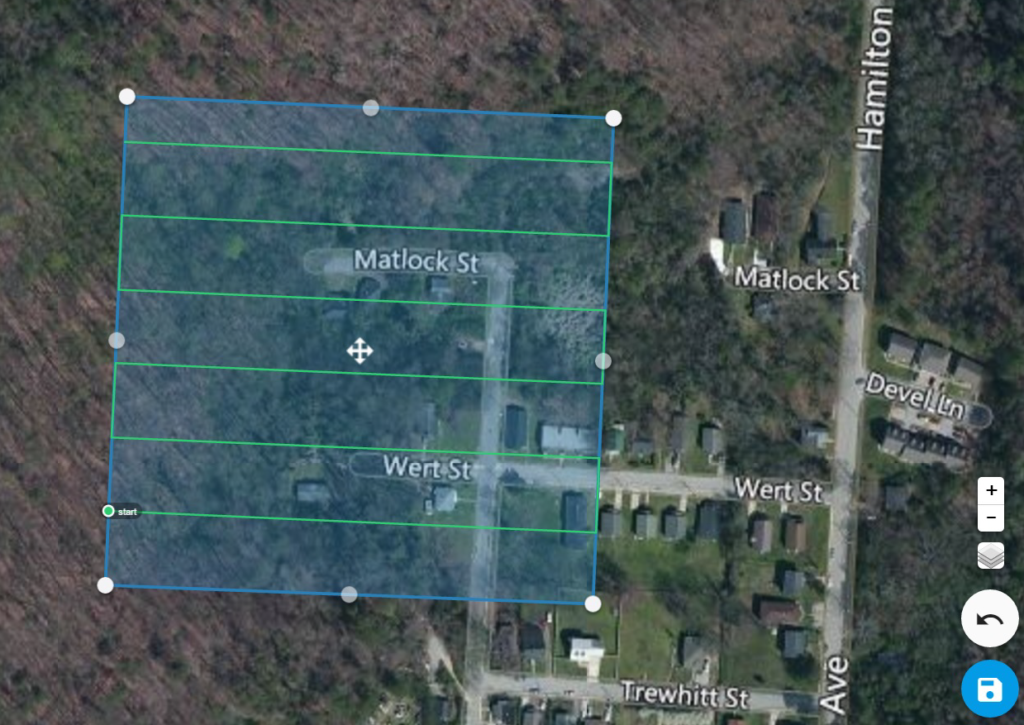
Aerial Surveying – Flight Planning
Image navigation
← Previous
Next →
Aerial Surveying – Flight Planning
Published
February 7, 2017
at
1024 × 725
in
Drone LiDAR Mapping
Image navigation
← Previous
Next →
↑
