↓

Chattanooga Land Surveying

Chattanooga Land Surveying
Home Menu ↓
Skip to primary content
Skip to secondary content
  • Home
  • ALTA Title Survey
  • Boundary Surveying
  • Construction Survey
  • Drone LiDAR Mapping
  • Elevation Certificate
  • Land Surveying
  • Lot Survey
  • Topographic Survey
  • Contact Us
Home→Drone LiDAR Mapping →Drone flight planning for aerial survey work

Image navigation

← Previous Next →

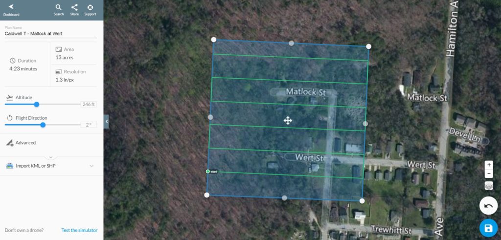
Drone flight planning for aerial survey work

Published February 7, 2017 at 1024 × 491 in Drone LiDAR Mapping
Drone aerial mapping flight planning for aerial survey work

Image navigation

← Previous Next →
© Copyright Chattanooga Land Surveying
Chattanooga, TN 37421
Phone: (423) 702-6505
Veteran Owned Business Directory, Get your free listing, now!

Web Development and SEO by:
JBirds.co


Terms of Use | Privacy Policy

↑