
Elevation Certificate Questions for Homes Near Tributary Creeks
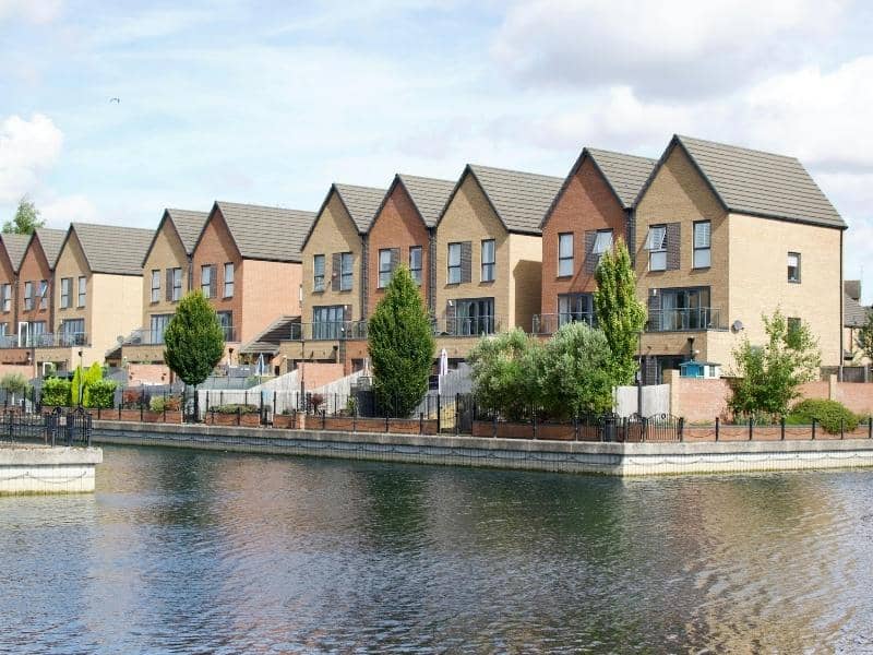
A small creek can look harmless on a dry day. Then a heavy storm rolls through, and that quiet stream climbs its banks fast. Homes near tributary creeks often sit closer to flood risk than owners think. Without solid elevation data, that risk stays a guess.
An elevation certificate turns the guess into hard numbers. It shows how your home sits compared to the flood level. That helps with insurance, permits, and smart decisions about the property. This guide answers common questions for creek-side homeowners. Why Creek-Side Properties Need Accurate Elevation Information
A tributary creek is a small stream that feeds into a larger river. These creeks rise quickly during storms because they drain nearby land. A home set low along the bank can flood even in a modest event. Accurate elevation data shows how much risk you really face.
Guessing about flood risk near a creek is costly. You might pay too much for insurance, or too little for the danger. An elevation certificate gives you facts instead of a hunch. That helps you protect the home and plan any future work.
What an Elevation Certificate Measures Around the Home
An elevation certificate is a form that shows a building’s height compared to flood levels. A licensed surveyor measures and fills it out. They record the height of key parts of the home and the ground around it. Each measurement ties to a known reference point for accuracy.
The surveyor checks a few main things. This includes the lowest floor, the ground next to the building, and any equipment that serves the home. They compare those heights to the base flood elevation, which is the level floodwater is expected to reach. Those numbers drive your flood insurance and permit review.
How Flood Maps and Creek Conditions Affect Elevation Review
FEMA Flood maps show which areas are likely to flood and how badly. These are often called FIRM maps, short for Flood Insurance Rate Maps. A creek-side home may sit inside a mapped flood zone. The surveyor uses these maps along with the elevation data to review your risk.
Creek conditions can shift over time. Erosion, new development upstream, and changing runoff can all affect how water moves. That means a map or an old survey may not match the site today. A careful elevation review looks at both the maps and the real conditions on the ground.
When an Existing Elevation Certificate May Need Updating
An old elevation certificate can fall out of date. Grading, an addition, or a raised foundation can change the numbers. Updated flood maps can also shift your zone or base flood elevation. Any of these can make the old form unreliable.
A few signs point to an update. You changed the grade or built near the home. The flood maps for your area were revised. A lender or insurer asks for current data. Requirements can vary by lender, insurer, municipality, and county, so confirm what your situation needs.
Using Elevation Information for Property and Project Decisions
Good elevation data supports better choices about your home. It helps you set or adjust flood insurance with accurate numbers. It also guides how you plan improvements near the creek. You can build higher or add protection where the data shows a need.
Buyers and sellers benefit too. A current elevation certificate gives a buyer a clear view of flood risk. It can affect the price, the insurance cost, and the loan. Confirm your elevation needs early, since timing matters for closings, permits, and construction.
Frequently Asked Questions
What is an elevation certificate?
An elevation certificate is a form that shows how a building sits compared to flood levels. A licensed surveyor measures the heights and completes it. It’s used mainly for flood insurance and floodplain permits. The form reflects the site conditions at the time of the survey.
Do homes near a creek always need one?
Not every creek-side home needs one, but many do. If the home sits in a mapped flood zone, a lender or insurer often requires it. The certificate can also lower an unfairly high insurance rate. Check with your insurer or local office to confirm the need.
Can an elevation certificate lower my flood insurance?
It can, if your home sits higher than the base flood elevation. The certificate gives the insurer accurate height data to work from. Some homes end up with lower rates once the real numbers are known. The result depends on your elevations and the insurer’s rules.
How does a tributary creek raise my flood risk?
Small creeks drain the land around them and rise fast in storms. A home set low on the bank can flood even in a moderate rain. Upstream development and erosion can make the risk worse over time. Elevation data shows how exposed your home really is.
How often should the certificate be updated?
There’s no single rule, but certain events call for a new one. Grading, an addition, or a raised foundation can change your numbers. Revised flood maps can also shift your zone. Update it when the site changes or when a lender or insurer asks.
