
A Professional Land Surveyor Reviews Conflicting Easement Maps
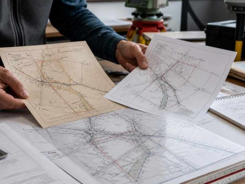
Two maps of the same property should agree. Sometimes they do not. One shows a utility easement running along the north edge. Another puts it right through the middle of your building spot.
That kind of conflict can freeze a deal or stop a project cold. You cannot pour a foundation over an easement you do not understand. You cannot close on a property when the paperwork fights itself.
This is where a professional land surveyor earns their keep. They compare the maps, study the records, and check the ground. Then they tell you where the easement really sits. Read on to see how that work gets done and why it matters before you build or close.
The Difference Between Recorded Easement Locations and Ground Conditions
An easement is a right to use part of your land for a set purpose. A power company may hold one for its lines. A neighbor may hold one for a shared driveway. The right is written down and filed with the county. These recorded rights can create drainage easement concerns that affect how owners use, improve, or maintain their property.
That written record lives on paper. It uses legal words and old measurements. But paper and dirt are not the same thing. The line on the map may not match where the pipe or road actually runs.
Ground conditions tell the real story. A gravel drive may sit ten feet off from where the deed says. A buried water line may cut across a corner no map shows. Time, old errors, and sloppy records all pull the two apart.
A professional land surveyor bridges that gap. They read the recorded easement first. Then they measure what is on the ground. When the two do not agree, they flag it and dig deeper.
Research Steps Used to Evaluate Conflicting Easement Documents
Good easement work starts at a desk, not in the field. The surveyor pulls every document tied to the land. This is careful detective work, done one record at a time.
Here are the main steps in that research:
- Read the deeds. The surveyor studies the current deed and older ones. Easements often trace back through past owners.
- Pull recorded easements and plats. A plat is a filed map of the land. It may show easement lines the deed only describes in words.
- Check title work. The title report lists rights and claims on the property. It can point to easements the maps left out.
- Review utility and agency records. Power, water, and road agencies keep their own maps. These often differ from what the deed shows.
- Compare the dates. Older documents can be outdone by newer ones. The order of filing matters a great deal.
Each source can hold a piece of the answer. One map alone rarely settles a conflict. The surveyor lines them all up and looks for where they break apart.
Rules and records can vary by county, title company, and property type. A licensed surveyor knows how to work through local records the right way.
Field Evidence That Helps Confirm an Easement Boundary
Paper only takes you so far. At some point the crew walks the land. They look for hard, physical clues that show where an easement truly runs.
Field evidence is what you can see, touch, and measure. It often settles a conflict the maps could not. Here is what a surveyor looks for:
- Physical markers. Iron pins, old stakes, and survey monuments mark past work. These are strong proof of a boundary.
- Utility signs. Manholes, pedestals, meters, and marker posts show where lines run below ground.
- Worn paths. A driveway, trail, or mowed strip can reveal a use that has gone on for years.
- Poles and structures. Power poles, boxes, and vaults help trace a utility easement across the land.
The surveyor measures each clue and ties it to the record. When a buried line matches an old plat, the picture gets clear. When it does not, that gap becomes part of the report.
This field check is not a guess. It is measured work backed by tools and training. That is what makes the result something you can rely on.
Easement Conflicts That Can Affect Property Use and Development
An easement conflict is not just a paperwork problem. It can change what you are allowed to do with your land. Some conflicts cost real money and real time.
Think about a builder ready to break ground. A hidden easement in the wrong spot can block the planned building. The design has to move, and the budget takes a hit. Worse cases stall the whole project.
Here are common ways these conflicts bite:
- You cannot build over a live utility easement, so your usable space shrinks.
- A shared access easement may not sit where you thought, which changes your driveway or parking.
- A drainage easement can limit grading and force a new plan.
- An unclear easement can scare off a lender or a buyer at closing.
Each of these can lower what the property is worth. Some can turn into a legal fight with a neighbor or an agency. Finding the truth early gives you room to plan or price the risk.
Why Accurate Easement Mapping Matters Before Construction or Closing
Clear easement mapping protects your money and your timeline. It tells you what you can build and where. It also tells you what you cannot touch.
Before construction, the map guides every early choice. You place the building clear of the easement. You route parking and drainage around it. This lowers the odds of a costly redo once work has started.
Before closing, the map gives everyone the same facts. Buyers, sellers, lenders, and title agents all read one clear document. Fewer surprises means fewer last-minute delays. A clean easement picture helps a deal close on time.
The goal is simple. Know where each right sits. Know how it limits your land. Then move forward on solid, measured facts instead of maps that argue with each other.
Frequently Asked Questions
What does a professional land surveyor do with conflicting easement maps?
They compare every map and record for the property. They study the deeds, plats, and title work first. Then they check the land for real clues like pins and utility markers. In the end, they tell you where the easement truly sits.
Can an easement move over time?
The legal right usually stays fixed once it is filed. But the thing using it, such as a driveway or line, may sit off from the record. That is often the source of a conflict. A survey shows where the record and the ground differ.
Do I need an easement check before I build?
Yes, if timing, permitting, or construction depends on it. Building over an easement can force a costly redo. A surveyor can confirm the lines before you start. Confirm your survey needs early so the schedule does not slip.
