
Land Surveying Before Early Site Feasibility Reviews
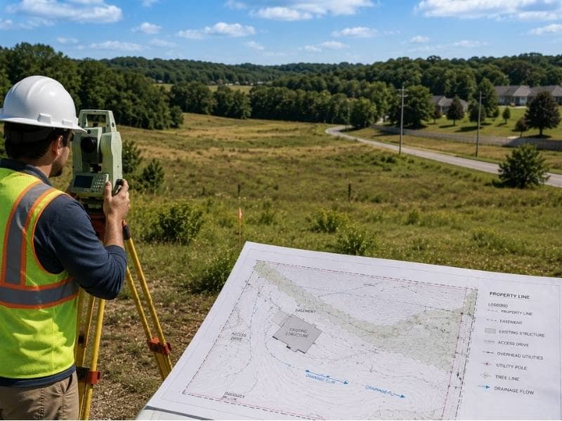
Early site planning starts with one basic question: Can the project work on this land? Before developers, engineers, or architects can answer that, they need good facts about the land. Land surveying gives them that starting point.
A survey can show the property limits, access points, easements, visible upgrades, and key site features. This helps the team study the site before spending a lot on design, permits, or building plans.
Without good survey data, early plans may use online maps, old drawings, or rough guesses. Those sources can help with general research. But they may not show the true state of the property. Starting with solid site facts helps the team make better choices. It also lowers the risk of big changes later.
Why Land Surveying Is One of the First Steps in Site Feasibility
A feasibility review helps decide if a planned use will work on a property. The team may study access, building space, parking needs, utilities, drainage, zoning, and building limits. Land surveying supports this work by recording the property’s current state. Surveyors gather field measurements, check records, and prepare facts that design experts can use during early planning.
For example, a developer may think a site has room for a building and a parking area. A survey may show that an easement crosses part of the land or that the lot has an odd shape. These facts can change how much usable land there really is. Finding this out early gives the team time to change the plan, try another layout, or decide if the site still fits their needs.
Existing Site Conditions That Influence Development Decisions
Every property has conditions that can affect how it can be built on. Some are easy to see. Others need research and exact measurements. A survey may find property lines, road access, existing buildings, fences, driveways, walls, utility features, and other visible upgrades. It may also show recorded easements, rights-of-way, and other limits found in property papers.
These facts help the team see how the site works today. A narrow entry point may affect traffic flow. A utility easement may limit where a building can go. A nearby structure near the boundary line may need more review. Survey facts may also show that the usable area is smaller than expected. Setback rules, easements, access limits, and current structures can shrink the space open for new buildings. By checking these things before design starts, the team can focus on ideas that truly fit the property.
How Survey Information Supports Preliminary Project Layouts
Early project layouts are often simple. They may show a possible building spot, parking area, driveway, loading zone, or utility path. Even at this stage, good site facts matter.
Survey data helps architects and engineers place these features within the true property limits. It also gives them a solid base for comparing different layout choices.
For example, the design team may use the survey to study:
- Possible building locations
- Parking and driveway space
- Utility access points
- Existing site upgrades
- Areas affected by easements or rights-of-way
This does not mean the first idea becomes the final plan. Feasibility work often needs several layout changes. But each choice becomes more useful when it is based on verified site facts.
Good survey facts also help the team guess whether the project may need more land, access deals, utility changes, or other big changes.
Identifying Potential Constraints Before Design Work Starts
One main goal of a feasibility review is to find problems before they get costly. Early land surveying may find encroachments, odd-shaped boundaries, small frontage, access issues, or conflicts between what’s on the land and what the papers say. Land shape and slope may also affect how the site can be used.
An encroachment happens when a structure or upgrade crosses a property line or reaches into an easement. This may involve a fence, wall, paved area, building feature, or utility upgrade. Odd-shaped lots can also make design harder. A site may have enough total area but still lack the width or shape needed for the planned use.
Rights-of-way and access limits may affect where a driveway can go or how roads connect. Steep slopes, low spots, or drainage paths may need more engineering review before the team can confirm a workable plan. Finding these things early does not always stop a project. In most cases, it just helps the team plan more carefully and see what more studies are needed.
Working With Surveyors Throughout the Feasibility Process
Surveyors often stay involved as the feasibility review grows. The first survey may answer broad questions. But the team may need more facts as the plan gets more detailed. Developers may ask the surveyor to clarify property records or find more features. Engineers may need more height data. Architects may need exact measurements around current buildings. Planners may ask for facts about access, setbacks, or rights-of-way.
Clear talk helps the surveyor know how the data will be used. It also lets the team ask for the right level of detail at each step.
The process may include:
- Checking available deeds and plats
- Confirming the project area
- Gathering field measurements
- Preparing base maps
- Adding details as the plan grows
This step-by-step way helps control costs while still giving the team enough facts to make good choices.
Frequently Asked Questions
Why is land surveying important before site development?
It gives true facts about the property before design starts. This helps the team study access, boundaries, easements, and other site limits. Good facts also help avoid costly changes later.
What information does a feasibility survey provide?
The exact scope can vary by project. It may include property boundaries, visible upgrades, access points, easements, and rights-of-way. It may also cover other site features needed for early planning.
Can land surveying identify property constraints?
Yes. Surveying can find odd-shaped boundaries, encroachments, and access issues. It can also reveal easements, rights-of-way, and other site features that may affect development.
Who uses survey information during feasibility reviews?
Developers, engineers, architects, and planners often use survey facts. Attorneys, lenders, and property owners may use it too. Each group uses it to check the project during early review.
Should land surveying be completed before site design?
In most cases, yes. Early survey data gives the design team a solid base to work from. It also helps stop layouts from being built around wrong property facts.
